


Case study · Environmental health
Monitoring lead levels in Flint, Michigan
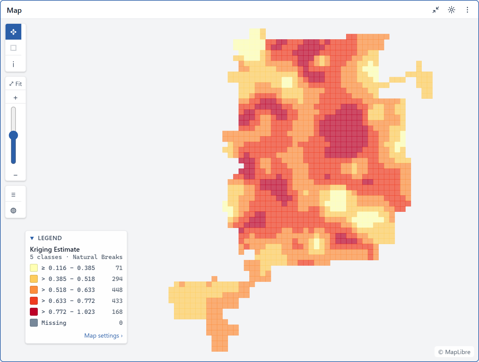
 Kriged water lead level (log10 ppb) · Flint, Michigan
The question
After Flint returned to the Detroit water supply, residents and officials needed to know whether lead levels were falling, whether sampling represented every neighbourhood fairly, and which homes were most likely to still have hazardous service lines.
The approach
Vesta modeled temporal trends in water lead levels, assessed racial and socio-economic bias in the sampling, and estimated the spatial distribution of lead across the city.
The result
The analysis identified the housing units with the highest probability of having service lines made of hazardous materials, giving replacement programs a ranked list to work from.