Founding Customer ProgramFirst year of Vesta Online for $399 (list $595). Limited seats.See the offer →
Monthly webinars

Webinars

A live session every month on a method or field, with time for questions. Every session is recorded and posted here.

Next live session

Free · live Q&A
Upcoming · Live

3 Questions to Ask Before Trusting AI With Your Spatial Analysis

  1. How does it choose a method?How the Advisor recommends methods from Vesta's validated toolkit and guides an analysis from setup to results.
  2. Who's in control?What the Advisor can and can't do, and where the analyst approves each step.
  3. What happens to my data?What stays on your machine, what gets sent, and how to keep sensitive information out of what's shared.

AI tools are showing up across spatial analysis workflows, and researchers are right to ask how they work and what happens to their data. Join us for an interactive session on the questions we hear most, with the Vesta Advisor as our worked example.

  • Thursday, November 19, 2026
  • 11 am ET
  • Virtual · ~35 min · Free
  • Robert Rommel, Chief Technology Officer · Amanpreet Bhogal, Data Scientist · live Q&A
Every attendee gets
  • A one-page checklistfor evaluating any AI analysis tool
  • A 14-day Vesta trialto try it on your own data
Register for free (opens in a new tab)

After you register, check both your inbox and spam or junk folder for the confirmation email with your join link.
Coming up later

We'll email invitation subscribers when the date is set
Date to be announced · Virtual · ~35 min · Free

Space, Time, or Both? Aligning Your Data for Spatiotemporal Analysis

Cases by ZIP code and week, populations by county and year, boundaries that change partway through a study: spatiotemporal analysis needs your data to line up in two directions at once. This session walks through a complete workflow from importing data to an analysis-ready dataset, with live Q&A.

  • Mismatched geographies
  • Aligning time periods
  • Changing boundaries
  • Deduplicating records
Get an invitation when it's scheduled →

Past webinars

Recordings on YouTube
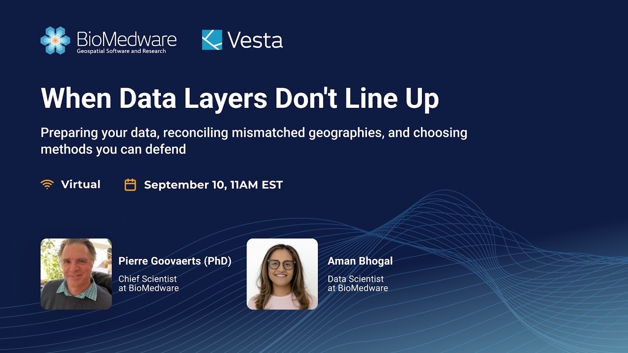
Recording · September 10, 2026 · 53 min

When Data Layers Don't Line Up: Making Spatial Analysis Defensible

Exposure on a raster grid, outcomes by county or ZIP code, population by census tract. How to bring these layers onto a common geography so rates and other measures make analytical sense, demonstrated in Vesta.

Pierre Goovaerts, PhD, Chief Scientist · Amanpreet Bhogal, Data ScientistWatch the recording (opens YouTube in a new tab)

See where it's happening, and why.

Use Vesta Online on your own data for 14 days. Start now, or bring one real question to an optional kickoff call.

14-day trial · Optional kickoff call · No credit card